10m accuracy
All terrain
Fast, low, night, day
Unjammable
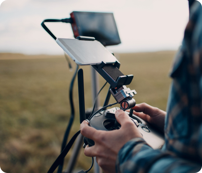
Fully independent
Up to 100km range
Compliant with DO 178C & 254 (DAL-B), MOC 2511 & 2512, and IP54.

Multirotors
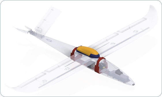
Fixed wing
eVTOL
AUV & ROV
Firefighting
Search & Rescue
Humanitarian aid
Construction
Gliders
Rotorcraft
Battery
Wet fuel
Difficult environments
Disposable systems
Accelerated deployment
Crewed aircraft
Faster Research & Development and assurance.
Develop tailored solutions to meet specific requirements.
Accelerate optimisation and evaluation of systems x 10.
Get it right first time with Flare Bright.
We’re accredited to ISO 9001 standard.